La directorate-general for infrastructure and security (DGIS) of the MASE (Ministry of the Environment and Energy Security), has been collaborating with the Navy for several years, through progressively renewed collaboration agreements (the first dates back to 2014), for a series of activities aimed at supporting security of energy infrastructure off-shore which persist in the waters of national jurisdiction.
At the beginning of 2023, the DGIS requested the Navy General Staff for the possibility of carrying out a bathymetric survey in the area off-shore of Fano, in order to verify the state of the sea bed in the vicinity of the hydrocarbon cultivation plants more than 11 km from the epicenter of the earthquake of 10.11.2022 (which occurred about 16 nautical miles from the coast).
The 3rd department (Maritime Plans, Operations and Strategy) of the naval general staff was therefore in charge of coordinating the planning of the activity in close collaboration with the personnel of the V division of the aforementioned DGIS.
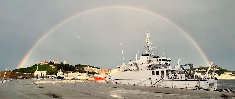
The hydro-oceanographic unit was used to complete the important survey in the waters off the coast of Fano Arethusa of the Navy.
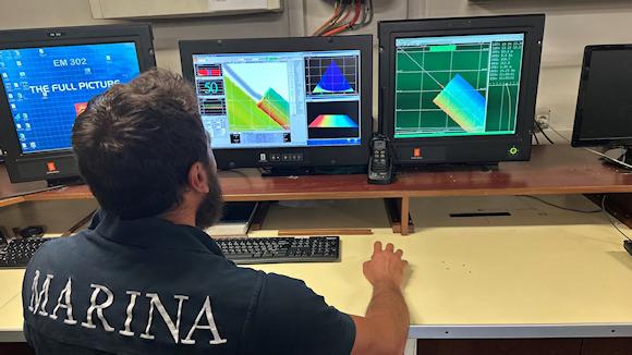
The unity of the class Nymphs it is equipped with state-of-the-art scientific instruments such as multi-beam echo sounders and multi-parametric oceanographic probes that allow the acquisition of data with high accuracy and precision.
On 7 June, the unit successfully completed the acquisition of bathymetric and water column in the area off-shore of Fano in accordance with the indications received from the geologists of the V division of the DGIS.
Thanks to the professionalism of the personnel involved and by virtue of the good weather and sea conditions, the data acquisition ended 6 days in advance of the initial schedule.
In total, approximately 4TB of water column data was acquired over an area of seabed spanning 167 km2.
The acquired data will subsequently be certified by the Hydrographic Institute of the Navy and delivered to the MASE staff for the verification of any instability of the seabed due to the earthquake.