Plastic: a word that can change the fate of Planet Earth. In the lecture hall of the University of Milan-Bicocca, the problem of marine pollution by plastics and microplastics and the impact it has in vulnerable cold marine environments, such as the Arctic Ocean, is discussed. An emergency, no longer negligible, that afflicts all the seas of the world, to the point of touching extreme and uncontaminated habitats such as the Arctic. A real invasion that moves from the land to the sea.
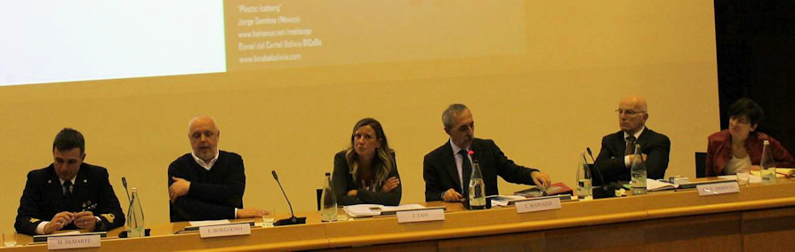
"Oceans of plastic and ice: a journey through stories and proposals to save the sea": a multidisciplinary event that combines scientific research with international law, desired by the Department of Environmental and Earth Sciences and the Department of Jurisprudence of the University of Milan - Bicocca in collaboration with the Hydrographic Institute of the Italian Navy (IIM).
The IIM, the only cartographic body of the state for nautical documentation, has no difficulty in finding a precise location in the sector of scientific research and sustainability: from hydrography to oceanography, from marine geophysics to marine geology, also engaging the units hydrographic. With the University of Siena, he collaborates in the research activity for the "mapping" of plastics in the Mediterranean. The director of the Institute, Rear Admiral Luigi Sinapi, starts the morning session, followed in the afternoon by Commander Maurizio Demarte, head of marine geophysics and oceanography, who illustrated "the new robotic technologies at the service of the sea": they optimize the monitoring areas, support in critical activities. they monitor, sample and "map" the seabed.
During the "Hight North 17" campaign, i Glider and Scanfish. Glider, has the shape of a torpedo, with an internal mass, which moves back and forth, either towards the bow or towards the stern. Take advantage of the density of water for its movement. The “Scanfish” is an oceanographic instrument connected to the stern of a ship to be subsequently towed which, in turn, can tow. It is an airfoil structure equipped with sensors to measure temperature, salinity and fluorescence. It quantifies the phytoplankton content, in the area where light penetrates, or rather in the photic area of the water column.
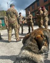
With "IIM research opportunities" geologist Roberta Ivaldi, professor of marine geology at IIM, closes the afternoon session with the program on the research and exploration campaign "High North and future developments in the Arctic", held at off the Svalbard, with the Navy ship Alliance of NATO. A research tool with oceanic capabilities: equipped with oceanographic and biological laboratories and systems for hydro-oceanographic and geophysical acquisitions, it also acquires data in polar environments.
It was possible to map unexplored areas of an area subject to glaciation and deglaciation: both for the particular morphology and nature of the sea bed, and for the physical and biogeochemical characteristics of water.
The IIM is projected on the "High North 18" research campaign which foresees the 3D Mapping: it will allow the study of the Atlantic water exchange area with the Arctic one. The area to the south will be monitored to verify the work carried out during the "High North 17" research campaign.
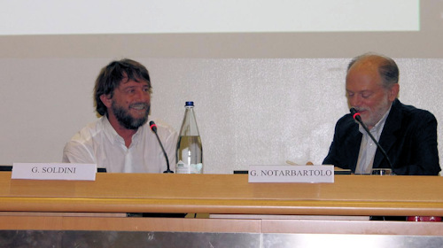
He draws from 1300 miles of navigation on his trimaran, along the route of the Tea (Hong Kong-London), the navigator Giovanni Soldini, told of the conditions in which the oceans are and how this emergency compromises the safety of navigation. He stressed the urgency of tackling the problem and starting to be aware consumers. Little plastic remains on the surface, most of it settles on the seabed where it is fragmented into microplastics. As a "citizen of the sea", for work and for passion, he wants to contribute to safeguarding our planet.