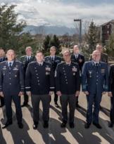
With formal certification dated January 19th, NATO's ACT (Allied Command for Transformation) certified "NATO SELECTED" the "Initial Remote Sensing" and "Advanced Remote Sensing" courses developed by Remote Sensing Courses Command of the School of Aerocooperation.
The two newly certified courses were also included in theEducation and Training Online Catalog (ETOC), the catalog of courses certified and offered by ACT, the supreme command based in Norfolk, Virginia (USA), responsible for training, doctrine and transformation of NATO's military instrument. Thus the training offer extended by the Defense, through the Interforces Institute of Guidonia (RM), makes available to the countries belonging to the Atlantic Alliance in the field of Remote Sensing. In fact, since last year the "SAR Imagery Interpretation" course (Synthetic Aperture RADAR Imaging) developed for the treatment and analysis of images coming from RADAR sensors with synthetic aperture is also available on the ETOC.
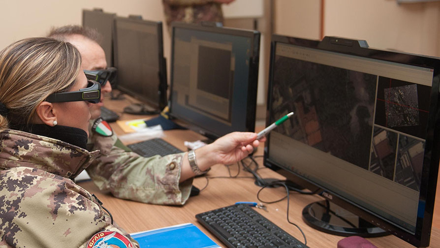
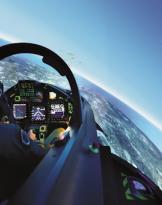
The "Initial Remote Sensing Course" allows the visitor to acquire the knowledge bases for the interpretation of images from aircraft and satellites equipped with electro-optical sensors and Full Motion Video, while the "Advanced Remote Sensing Course" provides the knowledge and skills for the analysis of such images for the production of informative reports of military and / or civilian interest.