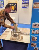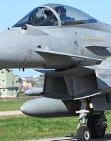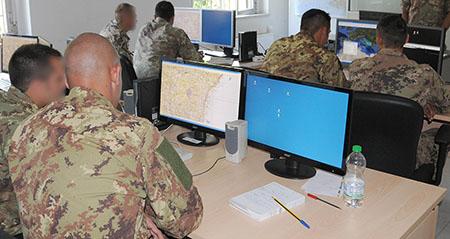
The activity was organized and carried out at the request made by the 17th Wing to meet the need to acquire the knowledge and skills of cartography and PFPS / TALON VIEW software (Portable Flight Planning System / Talon View), to allow your personnel to operate successfully in exercises and "Joint and Combined" operations.
The training included a first theoretical phase and a subsequent practical phase. Initially, notions on the use of the basic functions of the software were provided and, subsequently, during the practical phase, exercises were carried out on fictitious scenarios up to the planning and execution of a typical mission, with the relative use of GPS and recording functions. of the position for use in post-operation debriefing.
Source: Aeronautical Geotopographic Information Center - Pratica di Mare (RM) - 1 ° m.llo Lgt. Canio Martinelli