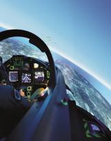
The aim of the GEOBASIC course was to provide the users with the ability to consult and use basic digital cartography and introduce them to the vision of the territory through remote sensing images from airplanes or satellites (photo reading).
During the lessons, all held by staff working at the School, the basic principles of cartography were provided with practical applications through the main software for managing digital cartography used by the operational departments and the technologies related to viewing images were also introduced. remote sensing of the territory.
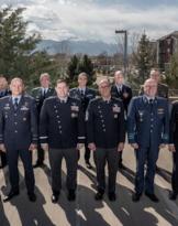
The Aerocooperation School is the military inter-agency of specialized training and technical-operative value in the field of the interpretation of remote sensing images (aerial and satellite) and in that of aeroterrestre and aeronavale cooperation. For the training and qualification of Advanced Air Controllers, the School commander is the "National Certification Authority" and the training / training process has recently also obtained NATO certification.
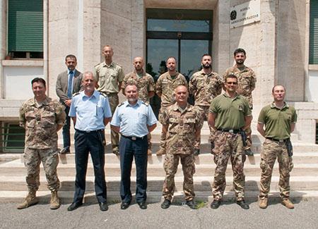
The courses of the School of Aerocooperation are open, in addition to the military personnel of the Armed Forces, also to personnel outside the Administration of Defense and military personnel of NATO and the countries participating in the International Partnership for Peace program (PfP - Partnership for Peace), subject to authorization by the General Staff Defense.
Source: School of Aerocooperation - Guidonia (Rm) - 1 ° m.llo Virginio Salvatori